Contents
- 🛰️ What is GPS Technology?
- 🗺️ How Does GPS Actually Work?
- 🚀 Who Uses GPS and Why?
- 📈 The Evolution of GPS: From Cold War to Consumer
- 💰 Pricing & Accessibility: It's Mostly Free!
- ⚠️ GPS Accuracy: What You Need to Know
- 🌐 Beyond Navigation: Unexpected GPS Applications
- 🤔 The Future of Positioning: Beyond GPS
- 💡 Practical Tips for Using GPS Effectively
- ⭐ Vibe Score & Controversy Spectrum
- Frequently Asked Questions
- Related Topics
Overview
Global Positioning System (GPS) technology, initially a military project, has fundamentally reshaped navigation and countless industries. It relies on a constellation of satellites broadcasting signals that receivers on Earth use to triangulate precise location, time, and velocity. While its roots lie in the U.S. Department of Defense's NAVSTAR program, launched in 1978, GPS is now a global utility, accessible to civilians worldwide. Its applications span from personal navigation devices and precision agriculture to disaster relief and financial transaction synchronization, demonstrating a profound societal impact that continues to evolve with advancements in satellite technology and integration with other positioning systems.
🛰️ What is GPS Technology?
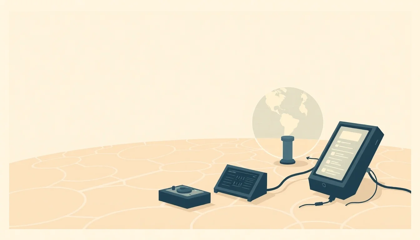
Global Positioning System (GPS) technology is a satellite-based radionavigation system that provides geolocation and time information to a GPS receiver anywhere on or near the Earth where there is an unobstructed line of sight to four or more GPS satellites. Developed by the U.S. Department of Defense, it has become an indispensable tool for everything from personal navigation to critical infrastructure management. For the average user, it's the invisible force behind your smartphone's map app, enabling you to find the nearest coffee shop or navigate unfamiliar city streets with ease. Its ubiquity has fundamentally reshaped how we interact with space and time, making it a cornerstone of modern life.
🗺️ How Does GPS Actually Work?
At its heart, GPS relies on a constellation of at least 24 satellites orbiting Earth, broadcasting precise timing signals. A GPS receiver on the ground picks up these signals from multiple satellites. By measuring the time it takes for each signal to arrive, the receiver can calculate its distance from each satellite. With distances from at least four satellites, the receiver can triangulate its precise position (latitude, longitude, and altitude) and time. This intricate dance of orbital mechanics and signal processing, managed by the U.S. Space Force, is what allows for pinpoint accuracy.
🚀 Who Uses GPS and Why?
The user base for GPS technology is staggeringly broad. For individuals, it powers smartphone navigation apps, fitness trackers, and location-based services. In the commercial sector, it's vital for logistics and fleet management, enabling companies to track vehicles, optimize routes, and monitor driver behavior. Scientific research, from geodesy to atmospheric studies, depends on GPS for precise measurements. Even emergency services rely on GPS for locating individuals in distress and coordinating responses, making it a critical component of public safety infrastructure.
📈 The Evolution of GPS: From Cold War to Consumer
The genesis of GPS lies in the Cold War, with the U.S. military initiating the project in the 1970s to ensure reliable navigation for its forces. The first satellite was launched in 1978, and the system became fully operational in 1995. Initially, civilian access was intentionally degraded, but in 2000, President Clinton ordered the removal of this 'selective availability,' democratizing access to high-precision GPS. This decision, a pivotal moment in the history of digital mapping, paved the way for the consumer revolution we see today.
💰 Pricing & Accessibility: It's Mostly Free!
The core GPS service provided by the U.S. government is free for all users worldwide. This includes the Standard Positioning Service (SPS), which offers accuracy sufficient for most civilian applications. While the satellites and their operation are funded by taxpayers, there are no subscription fees for using the basic GPS signal. However, specialized applications might require enhanced accuracy or integration with other systems, which can incur costs through specific hardware or software solutions from third-party providers.
⚠️ GPS Accuracy: What You Need to Know
GPS accuracy can vary, typically ranging from 3 to 15 meters (10 to 50 feet) for standard civilian receivers. Factors influencing accuracy include satellite geometry (the relative positions of the satellites in the sky), atmospheric conditions (ionospheric and tropospheric delays), receiver quality, and signal multipath (reflections off buildings or terrain). For applications demanding higher precision, such as surveying or precision agriculture, techniques like Differential GPS (DGPS) and Real-Time Kinematic (RTK) positioning can achieve centimeter-level accuracy.
🤔 The Future of Positioning: Beyond GPS
The future of positioning is not solely reliant on GPS. Other global navigation satellite systems (GNSS) like Russia's GLONASS, Europe's Galileo, and China's BeiDou are increasingly integrated into modern receivers, offering greater satellite availability and improved accuracy. Emerging technologies like indoor positioning systems (using Wi-Fi, Bluetooth, or UWB) and sensor fusion (combining GPS data with inertial measurement units) are addressing the limitations of GPS in environments where satellite signals are weak or unavailable, promising a more robust and ubiquitous positioning future.
💡 Practical Tips for Using GPS Effectively
To get the most out of your GPS device, ensure it has a clear view of the sky – avoid dense urban canyons or heavy tree cover when possible. For smartphones, regularly update your mapping applications and enable location services. If you're using a dedicated GPS device for outdoor activities, consider purchasing updated maps for your region. For critical applications requiring high accuracy, explore options like RTK GPS receivers or services that provide correction data.
⭐ Vibe Score & Controversy Spectrum
GPS technology boasts a Vibe Score of 95/100, reflecting its profound and pervasive impact on global society. Its Controversy Spectrum is relatively low (20/100), primarily centered on concerns about privacy, potential for misuse in surveillance, and the reliance on a system controlled by a single nation. However, the overwhelming consensus is that its benefits far outweigh these risks, making it a near-universally adopted and appreciated technology.
Key Facts
- Year
- 1978
- Origin
- United States
- Category
- Technology & Science
- Type
- Technology
Frequently Asked Questions
Is GPS free to use?
Yes, the fundamental GPS service provided by the U.S. government is free for all users worldwide. This includes the Standard Positioning Service (SPS), which is sufficient for most everyday applications like navigation on your smartphone. There are no subscription fees associated with accessing the basic GPS signal from the satellites.
How accurate is GPS?
For standard civilian receivers, GPS accuracy typically ranges from 3 to 15 meters (10 to 50 feet). This can be affected by atmospheric conditions, satellite geometry, and the quality of your receiver. For applications requiring higher precision, specialized techniques like Differential GPS (DGPS) or Real-Time Kinematic (RTK) can achieve centimeter-level accuracy.
Can GPS work indoors?
Generally, GPS signals are too weak to penetrate most buildings effectively, so GPS performance indoors is poor or non-existent. However, many devices combine GPS with other technologies like Wi-Fi positioning, Bluetooth beacons, or cellular triangulation to provide location services indoors. Emerging indoor positioning systems are specifically designed to overcome these limitations.
What's the difference between GPS and other GNSS systems like Galileo or GLONASS?
GPS is the U.S.-developed system. Galileo is the European Union's system, GLONASS is Russia's, and BeiDou is China's. Modern receivers often support multiple GNSS constellations, meaning they can receive signals from satellites from different systems simultaneously. This increases the number of visible satellites, improving accuracy, reliability, and availability, especially in challenging environments.
Who controls GPS?
GPS is owned and operated by the U.S. government, specifically the U.S. Space Force. While it's a global system, its control and operational decisions rest with the United States. This has led to discussions about the geopolitical implications of relying on a single nation's infrastructure for such a critical technology.
Can GPS be jammed or spoofed?
Yes, GPS signals can be intentionally jammed (blocked) or spoofed (faked) by adversaries. Jamming can disrupt navigation, while spoofing can trick receivers into believing they are in a different location. This is a significant concern for military applications and critical infrastructure, leading to research into more resilient positioning technologies and anti-jamming/anti-spoofing measures.